Geologists say that the island was created during the Miocene period of the Aquitaine era. The plains and the marshes of the region were covered by a huge water surface, called the Pannonian Sea, from which only the granite massifs of the Carpathians, here and there an island or group of islands emerged. The Danube was shorter in those times, flowing into the Pannonian Sea around the present location of Bratislava or Vienna. The brooks and rivers carried large amounts of mud, pebbles and other sediment, while slowing down gradually at the mouth, and the alluvia created deltas and islands. It is supposed that the delta of the Danube used to be similar at the Pannonian Sea then, to its delta at the Black Sea now. This delta, the alluvia consisting of sand, mud and gravel flowing from the Alps, formed Great Rye Island and Little Rye Island (Hun: Szigetköz).
Following floods, the plains were gradually filled with sediment, and since floods occurred frequently, the water had to find new routes to follow. This is how many of the branches of the Danube were formed in the area. These riverbeds, however, were also constantly filled with alluvia, resulting in continuous modifications of the riverbeds’ routes. Since the speed of the flow slowed down on the plains, the sediments dragged by the river were laid down here, thus creating deep layers of sand and gravel, reaching the surface and creating a sunburnt soil in Upper Great Rye Island. Where the water could not carry the larger parts of the sediment, it simply left them there, progressing over this gradually filled plane with dissolved minerals. As a result we can recognise these dissolved materials left behind in Lower Rye Island’s heavy clay and marly soil. The middle of the island, the area of the present district of Dunajská Streda (Hun: Dunaszerdahely), where the dry riverbeds, moorlands, silted, sloggy areas are filled with water in fall, is characterised also by high quality soil, loose layers of sediment perfectly suited to agricultural use. It is natural that beginning from the early Middle Ages, settlements were established in accordance with the living conditions provided by the land. Therefore, no settlements were found in the upper central part of the island, where fens and marshlands remained typical longer, while to the south, an unusually densely populated network of settlements appeared.
The formation of the island of present times
The present area of Kukkónia was formed due to a partially natural, partially artificial merger of three historical hydrological areas. These are: the old Great Rye Island or “Csallóköz”, the land between the Csalló (old Hungarian name for the Danube) flowing in the western parts of the island and the present Danube; the hydrological area called “Vágköz” in the old times, a land that used to spread between the Danube and the river Váh (Hun: Vág), in the eastern part of the island; and the “Csilizköz”, an area under the borderline between the “Csallóköz” and the “Váhköz”, the land between the sometime river Csiliz and the Danube, located in the southern central part of the island. These three inlands merged into one during the major hydrological changes between the 15th and 18th centuries into the present Great Rye Island or “Csallóköz”, as it is called by the locals.
Hydrologic description of Great Rye Island
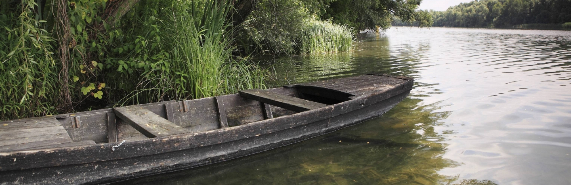
On the territory of its sediment-built delta the Danube river split into numerous branches, building smaller and larger islands while ever changing its main riverbeds during floods. As the abundant alluvium of different floods settled in the former riverbed closing its flow, the pouring stream searched for a new space cutting a path for itself in the soft ground while newer and newer layers of deposit caused a gradual increase of the ground level. Thus the landscape of the archipelago changed after each flood. This process, which has been going on for thousands of years, has not only shaped the hydrological system of Great Rye Island but has once and for all predestined the living conditions on the island. Water has always played an enormous role in shaping the environment around here. That’s why many geographical names have the word “island” included.
The Island as a Water Castle
In the past centuries countless – rapidly changing – moving waters criss-crossed the territory of the island from north to the south and west to the east. Due to the many swamps and wetlands the area was only viable for the locals who were acquainted with every inch of it. The landscape has shown itself to be a mighty water castle, whose secret has only been known to few. Armies avoided the area even in well-recorded centuries. Nor did the locals often leave their tiny settlements densely scattering the hilly plateaux. In those times one would not choose a spouse from the neighbouring village, although they would not have needed to go too far. Smaller or well-to-do landowners would also wed someone from within Great Rye Island and stay in contact. Therefore, local families (including nobility) have almost been in kinship with all similar families in a village.